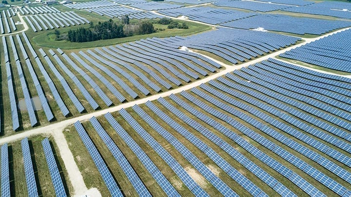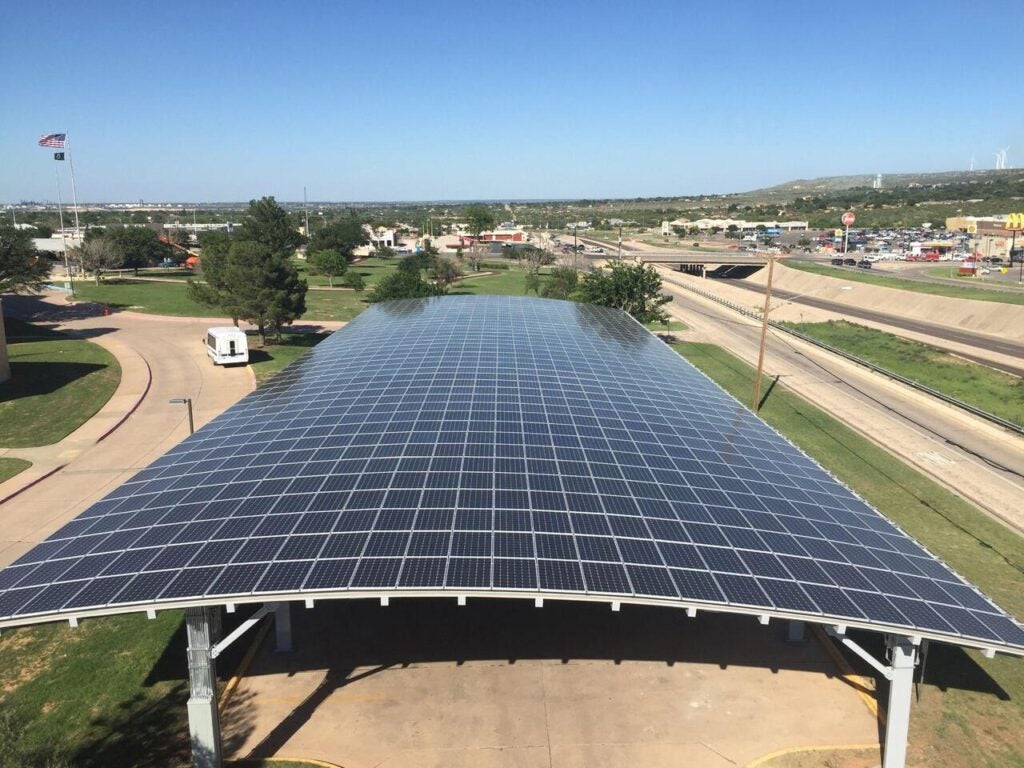
The solar power industry continues to see growth in distributed generation installations from residential to commercial projects, particularly as people take more control of powering their properties to increase their electricity reliability, and to control their energy costs.
An important part of that process involves a rooftop solar installation’s onsite survey. There is currently a significant disconnect between the current manual solar surveying process, and the needed results. As with other aspects of the power generation sector, software and new technologies are proving their worth when it comes to increasing efficiency for all size solar projects.
COMMENTARY
According to Scanifly’s research surveying hundreds of residential installers, almost all solar businesses visit the project site before construction to verify data for their layouts. This occurs because 91% believe that satellite imagery isn’t “good enough” for a final design. Yet, when onsite, fewer than 40% of residential surveys go on all of the roof planes “all the time.” Accessing the roof presents safety concerns that limit solar’s productivity.

Furthermore, 76% of surveyors who go on the roof claim to take shortcuts. When asking designers how accurate the measurements they receive from surveyors are, only 21% of designers said “perfectly accurate”; about 70% said the measurements are “almost always accurate” or “usually accurate.” However, when asked what percentage of projects require redesigns, more than half said that more than 25% of projects did.
For more on how new technology is transforming solar power, read this feature article in the December 2020 issue of POWER.
The manual survey and design process that occurs in solar currently involves most surveyors climbing ladders, walking around roofs, and using a tape measure to capture dimensions. The surveyors write everything on paper. Then a designer will manually update a layout or create one from scratch using AutoCAD or SketchUp. This process is time-consuming, often inaccurate, and unsafe. While a satellite or airplane-based data source provides some clarity, coverage can be pixelated or sparse at best. The combination of a drone-based survey with a 3D model and automatic design reduces time, enhances accuracy to within a few inches across a property, and keeps workers off the roof until construction.
Modern technology enables safety and industry growth to go hand in hand. As competition among contractors continues to ramp up, contractors will be forced to stand apart from each other. The average change order may be less than $1,000; however, just one issue can ruin a contractor’s reputation in a local market. When referrals are the top source of good leads, any change order is not actually tolerable. “Accurate enough” or “good enough” won’t cut it anymore in most markets.
—Jason Steinberg is CEO of Scanifly, a solar design software company that uses drone technology and 3D modeling tools.