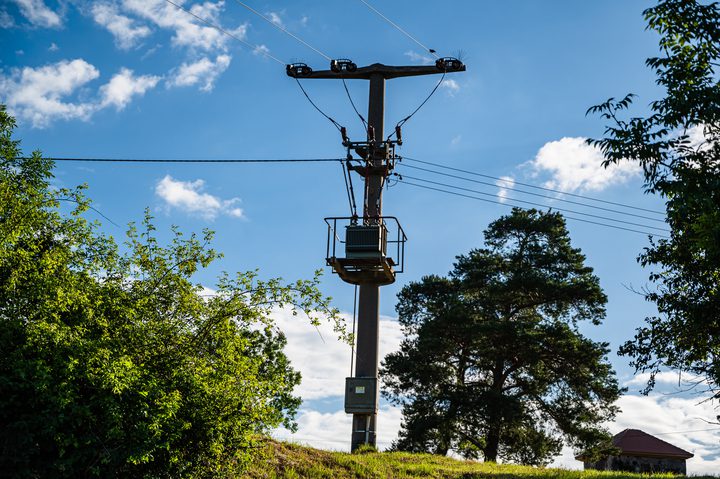
Cambridge, UK (Feb. 5, 2019) — IQGeo announced today a new next generation geospatial platform that challenges the conventional role and capabilities of legacy GIS environments. Designed specifically for telco and utility network operators, the new platform dramatically accelerates productivity and collaboration, reducing field costs and enabling digital transformation. The platform, demonstrated at DistribuTECH 2019 in New Orleans, is part of a broader solution that supports the digital utility, improving storm restoration, construction management, daily maintenance and customer service.
The cost and complexity of traditional GIS compromises the ability of network operators to successfully execute essential business changes to remain competitive. They struggle to justify millions of dollars for software, services and upgrades to maintain legacy GIS environments that no longer meet their rapidly changing network requirements. The next generation geospatial platform from IQGeo addresses these important technology and business challenges by providing a cost-effective software strategy that goes beyond traditional GIS capabilities.
Based on their industry proven myWorld software, the next generation technology uses a single common extendable platform for mobile and web, which is essential to optimizing operations as assets are increasing pushed further to the network edge. Organizations can take control of their operational assets by creating, capturing and editing their geospatial data on any mobile device, online or offline, in the office or in the field.
Peter Batty, CTO at IQGeo, said: “We’re delighted to be returning to DistribuTECH where, alongside our myWorld platform and Capture products, we will be giving a demonstration of our disruptive next generation geospatial platform. While this product will be released in the second half of 2019, we feel it’s important to share our plans now because so many companies we talk with are facing expensive and complex upgrades from traditional GIS vendors such as Esri and GE. Consequently, they are looking for a more agile and cost-effective strategy and our new geospatial platform is designed specifically to meet this challenge. Its mobile first approach is radically different from any of the offerings from traditional GIS vendors.
“The future is all about updating your network asset data immediately as work happens in the field, in increasingly automated ways. We are giving organizations the opportunity to reimagine the GIS role within their network operations in a way that enables digital transformation, increases service reliability and decreases design, build and maintenance costs. Interest in our next generation technology leading up to DistribuTECH has been extremely positive and we look forward to sharing our latest software and listening to input from visitors.”