On the day after Thanksgiving, four federal agencies released a Final Programmatic Environmental Impact Statement (Final PEIS) proposing to designate more than 6,000 miles of energy transport corridors on federal lands in 11 western states.
The Department of the Interior’s Bureau of Land Management and the U.S. Departments of Energy, Agriculture, and Defense (the Agencies) prepared the Final PEIS as part of their work to implement Section 368 of the Energy Policy Act of 2005. The proposed energy corridors would facilitate future siting of oil, gas, and hydrogen pipelines, as well as electricity transmission and distribution facilities on federal lands in the West to meet the region’s increasing energy demands while mitigating potential harmful effects to the environment.
“Up to now, Federal land management agencies have often designated energy corridors and rights-of-way when local projects were proposed,” said Assistant Secretary of the Interior C. Stephen Allred. “Designating energy corridors using a PEIS allows the participating Agencies to mitigate environmental effects and reduce conflicts with other uses of Federal land. The results of this work will speed the process of siting energy infrastructure on Federal lands in the West.”
The Energy Policy Act of 2005 directs the secretaries of agriculture, defense, energy, and the interior to designate energy transport corridors for oil, gas, and hydrogen pipelines and electricity transmission and distribution facilities on federal lands in Arizona, California, Colorado, Idaho, Montana, Nevada, New Mexico, Oregon, Utah, Washington, and Wyoming. The Act further directs that environmental reviews be completed for the designation of such corridors, and that the designated corridors are incorporated into the relevant agency land-use and resource management plans or equivalent plans.
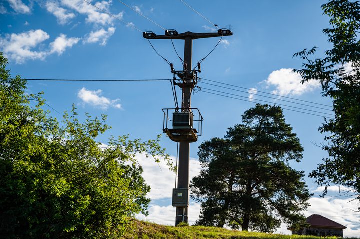
Energy transport corridors are agency-preferred locations where pipelines and transmission lines may be sited and built in the future. Having a network of corridors that could accommodate transportation systems for multiple energy types potentially minimizes the proliferation of energy utility rights-of-way on the federal landscape. Eighty-two percent of the corridors analyzed in the Final PEIS are located on BLM-managed lands, while 16% are on USDA Forest Service lands. The remaining proposed corridor segments are on lands managed by Interior’s Bureau of Reclamation and National Park Service, or by the Department of Defense. Individual projects proposed for these corridors would undergo further, project-specific environmental analysis before being granted permits or rights-of-way.
Corridors were sited using a four-step process that identified a number of important lands and resources to be avoided to the fullest extent possible. The Agencies examined factors that constrain where a network of energy transport corridors could be located – including topographical, environmental and regulatory constraints – as well as the overall suitability of particular lands to support development and operation of energy transport infrastructure. In some cases, corridors intersect or approach sensitive lands or resources. Most often these intersections follow existing infrastructure such as highways, transmission lines, or pipelines to avoid placing corridors in “greenfield” (undeveloped) locations.
To review the Final PEIS and related documents, including detailed maps, visit the project site.
Source: DOE