Nearly one-quarter of power outages in the U.S. are related to vegetation risk, according to research from The College of Natural Resources. At the same time, utilities spend an estimated $7 billion annually on vegetation management.
Despite this investment, many organizations still manage vegetation using fragmented systems and fixed-cycle approaches designed for a more stable climate, operating environment, and regulatory landscape. That environment was already changing—and the January 2025 Los Angeles wildfires confirmed it, on a devastating scale.
COMMENTARY
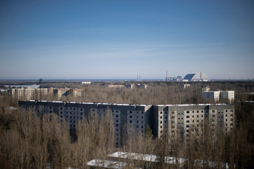
By the time the Palisades and Eaton fires were fully contained on Jan. 31, they had collectively burned more than 37,000 acres, destroyed more than 16,000 structures, and claimed at least 29 lives. Total economic losses have been estimated between $250 billion and $275 billion, making it the costliest wildfire disaster in U.S. history. Investigations pointed to utility equipment as a likely ignition source for the Eaton Fire, prompting lawsuits from both Los Angeles County and the U.S. Department of Justice against Southern California Edison.
The utilities best positioned to limit outages, liability, and regulatory scrutiny in this new environment will manage vegetation as an integrated risk intelligence system, directly connected to their network model, enterprise data strategy, and field execution platforms.
A New Climate Reality
Understanding what happened in L.A. requires understanding the climate sequence that preceded it. Scientists at UCLA described it as “hydroclimate whiplash”: abnormally heavy rainfall in 2023 triggered dense vegetation growth across the region. Then, 2024 brought record heat and the driest conditions in nearly a century, turning that growth into highly combustible fuel. World Weather Attribution concluded with high confidence that human-induced climate change increased the likelihood of the precise fire weather conditions that ignited the L.A. fires by approximately 35%.
![]()
This pattern—wet years that accelerate vegetation growth followed by extreme drought—represents an emerging norm across fire-prone regions of the U.S. In the fall of 2024, 48 states experienced some level of drought, a situation NOAA deemed “historic.” When a compromised power line contacts dry vegetation, it can ignite, threatening property and lives and taking power out of service.
For utilities, the consequences are layered:
- Reliability impacts and restoration costs.
- Wildfire liability exposure, including strict liability under California’s inverse condemnation doctrine, which does not require proof of negligence.
- Regulatory scrutiny and compliance exposure.
- Insurance market pressure, as property insurers continue to reduce coverage in high-risk regions.
Vegetation management is no longer just about trimming trees. It’s about managing systemic risk at a scale and speed that traditional programs were never designed to support.
Compliance is Adding Complexity
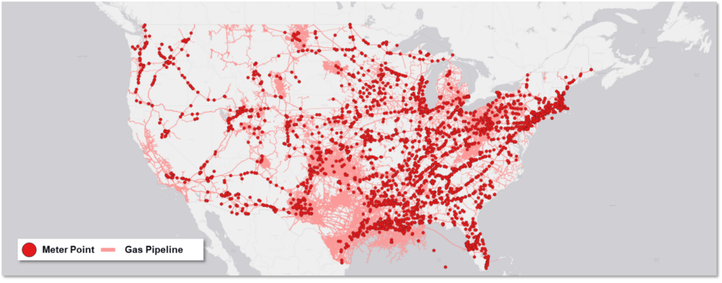
The regulatory environment was already tightening before the L.A. fires. FAC-003-5, the updated Transmission Vegetation Management standard from NERC, took effect April 1, 2024, applying stricter requirements to all NERC-registered Transmission Owners and Generator Owners. Since 2020, FAC-003 violations have carried the highest average penalty per violation of any non-CIP NERC reliability standard—more than $200,000 per violation on average—and have been found to pose serious risk to bulk electric system reliability more frequently than any other non-CIP standard, according to ReliabilityFirst’s 2025 enforcement analysis.
At the same time, utilities are expanding transmission capacity to meet growing energy demand and support renewable integration. More miles of infrastructure mean more exposure to vegetation encroachment and more documentation requirements.
Compliance today requires more than proving trimming occurred. Utilities must demonstrate clear prioritization, defensible methodologies, and consistent documentation.
![]()
Why Traditional Approaches Are Falling Short
Historically, vegetation management has been performed on fixed schedules based on historical growth patterns. That model provided structure, but it assumed relatively stable environmental conditions.
Today’s reality is different. As climate scientists have documented, growth patterns are now driven by hydroclimate volatility rather than historical averages. A circuit considered low risk under the last decade’s rainfall patterns may present an acute fire hazard this season if wet years have pushed canopy growth into the right-of-way.
At the same time, utilities are facing persistent labor shortages and rising contractor costs. Trimming more frequently across all circuits isn’t economically feasible.
Instead of asking, “What is due this cycle?” utilities are increasingly asking, “Where is the highest risk right now?” Answering that question requires visibility across the entire network, something many organizations still struggle to achieve.
Where Legacy Systems Create Blind Spots
The data needed to inform vegetation management comes from many sources:
- GIS asset records.
- Historical inspection logs.
- Drone-captured aerial imagery.
- LiDAR (light detection and ranging) datasets.
- Satellite imagery.
- Field observations.
- Weather and drought data.
In many utilities, this information is stored across disconnected systems and formats. Even when the data exists, it can be difficult to synthesize into actionable insight quickly.
As satellite and remote sensing technology expands, utilities now have access to more geospatial data than ever before, including satellite imagery updated daily across entire grid territories. But processing these volumes requires computing power and integration capabilities that outdated IT infrastructure often cannot handle.
The result is that utilities often collect data but struggle to operationalize it. Without full visibility into where vegetation is encroaching on field assets, organizations default to reactive maintenance rather than proactive risk mitigation.
A Digitized, Map-First Approach Reduces Risk
To manage vegetation proactively, utilities are increasingly turning to digitized, geospatially enabled asset management platforms.
A map-first, network-aware approach built on modern geospatial platforms anchors every asset, inspection, and work order to its precise geographic location. By integrating data from drones, satellites, mobile devices, and enterprise systems into a single environment, utilities gain real-time visibility into both asset condition and surrounding vegetation. This allows them to identify fall-in and grow-in risks earlier, prioritize high-risk circuits, allocate crews more efficiently, and improve compliance documentation.
Instead of relying on fixed cycles, utilities can prioritize work based on risk, environmental conditions, and asset criticality—the kind of situational awareness that fixed-cycle programs cannot provide.
As utilities migrate from legacy models like the Esri ArcMap Geometric Network to the Esri ArcGIS Utility Network, this integration becomes even more critical. Vegetation prioritization must align with network topology, circuit connectivity, and downstream customer impact. A vegetation platform that operates independently of the underlying network model limits a utility’s ability to perform defensible, topology-aware risk scoring at the feeder and substation level, where understanding downstream customer impact is essential for both operational decision-making and regulatory defensibility.
Critically, this approach enables utilities to connect vegetation risk directly to network topology, allowing prioritization decisions to reflect real downstream customer and system impact.
Remote Sensing and AI: From Snapshots to Continuous Intelligence
Emerging technologies are pushing vegetation management even further. High-resolution LiDAR creates detailed three-dimensional point clouds that capture vegetation density, tree height, and encroachment risk with centimeter-level accuracy. When analyzed by AI and machine learning algorithms, this data can detect grow-in and fall-in risks and flag locations likely to require intervention before the next inspection cycle.
A 2024 study by University of Southern California researchers demonstrated how generative AI combined with real-time satellite data can forecast wildfire path, intensity, and growth rate—modeling how weather, terrain, and vegetation interact to drive fire behavior.
Predictive models can incorporate vegetation growth rates, species behavior, historical outage correlations, weather forecasts, and drought conditions. The real value, however, is not prediction alone; it’s the ability to integrate those insights directly into daily work planning and field execution. This doesn’t replace field expertise; it enhances it. In an environment of limited labor and rising costs, that kind of predictive prioritization is becoming essential.
Automation Improves Execution in the Field
Digitization doesn’t just improve planning; it transforms execution. Modern mobile workforce platforms automate workflows end-to-end. Configurable digital forms guide field crews through inspections consistently. Spatial lookup tools auto-populate form fields based on nearby assets, reducing manual entry and improving accuracy. Field crews gain mobile access to real-time data even in remote environments, rather than relying on outdated paperwork.
For utilities managing a mix of internal teams and contractors, digitized systems also provide visibility into contractor performance, work completion rates, and safety compliance. When contractor performance, inspection data, and risk prioritization decisions are captured in a centralized, time-stamped system, utilities reduce exposure during audits and regulatory review—a consideration that has taken on new urgency in the post-Los Angeles regulatory environment.
The result is not just efficiency, but better decision-making in the field and a defensible, auditable record of how risk-based decisions were made.
From Maintenance Function to Risk Intelligence
The broader shift underway is both technological and philosophical. Vegetation management is evolving from a recurring maintenance expense into a strategic risk intelligence function embedded within the digital network model.
The 2025 L.A. wildfires accelerated that evolution. In their aftermath, vegetation programs will increasingly be judged not by acres trimmed, but by risk avoided and exposure documented. The organizations that integrate vegetation data with their network topology, enterprise analytics platforms, and field execution systems will be better positioned to reduce outages, limit wildfire liability, and demonstrate regulatory defensibility.
The future of vegetation management isn’t about cutting more trees. It’s about seeing risk more clearly, acting sooner, and using digitized tools to protect reliability, communities, and the grid itself. Utilities that move first to integrate vegetation data with network topology, enterprise analytics, and field execution will be better positioned to reduce outages, limit liability, and meet increasing regulatory expectations in a rapidly changing environment.
—Mike Mitchell is vice president of Customer Success for Epoch Solutions Group.