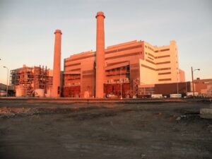
Summertime heat is cresting at the same time many economic restrictions related to the COVID-19 pandemic are easing in communities across the United States. Meanwhile, as extreme weather events are becoming more frequent, much of the country is on alert as forecasters predict severe hurricane, tornado, and wildfire seasons will continue.
Utilities know they need to prepare for increased power demand and severe weather events—yet just 24% of utility executives reported feeling that they are well-prepared to manage those challenges.
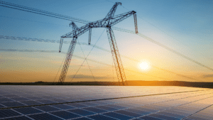
Facing unprecedented conditions, including increasing and unpredictable demand, utilities are on high alert for overheating components. Using drones, helicopters, or ground inspection crews, companies are collecting and analyzing thermal imagery. Leading utilities are incorporating innovative technologies, including AI-powered thermographic tagging engines, to identify hot spots before they fail or cause outages.
By capturing thermal data and performing geospatial analysis, utility operations leaders are achieving an optimized workflow that mitigates risk, protects employees, and ensures customers receive uninterrupted service.
The benefits of increasing efficiency in reviewing and identifying thermal issues extend beyond the hot summer months—no matter the climate or the weather, preventing components from overheating is crucial. In doing so, utilities save resources and maintain system uptime.
Transforming Data Collection With Thermal Sensors
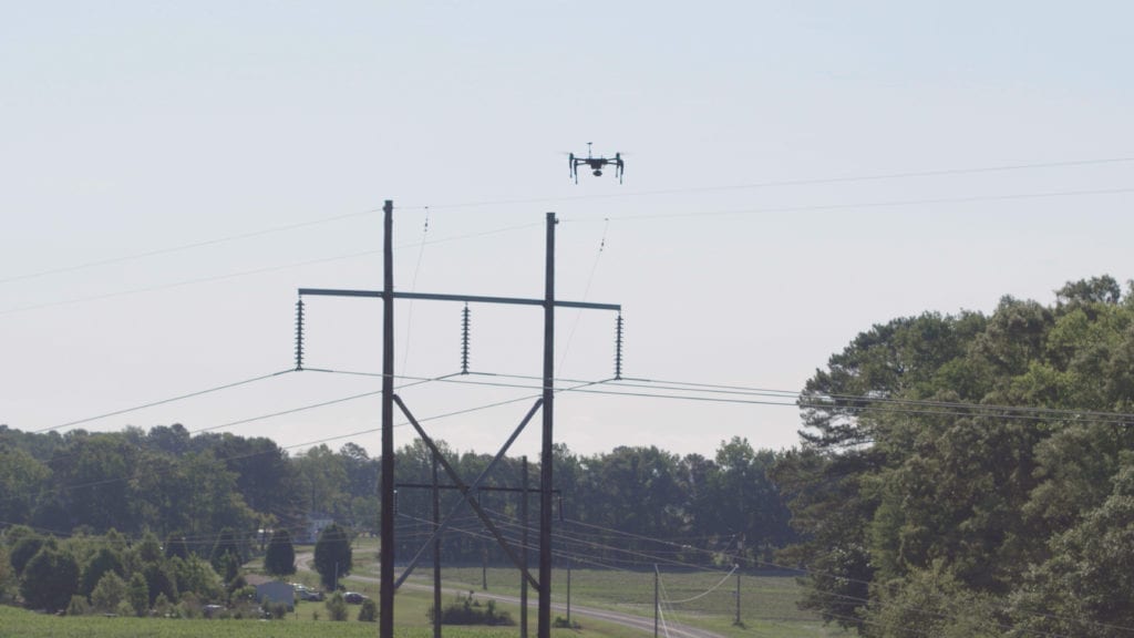
Traditionally, utilities have relied on bucket trucks and manned aircraft to collect thermal data on hard-to-reach components. Increasingly, field staff are flying drones equipped with thermal sensors to identify hot spots and other areas of critical concern.
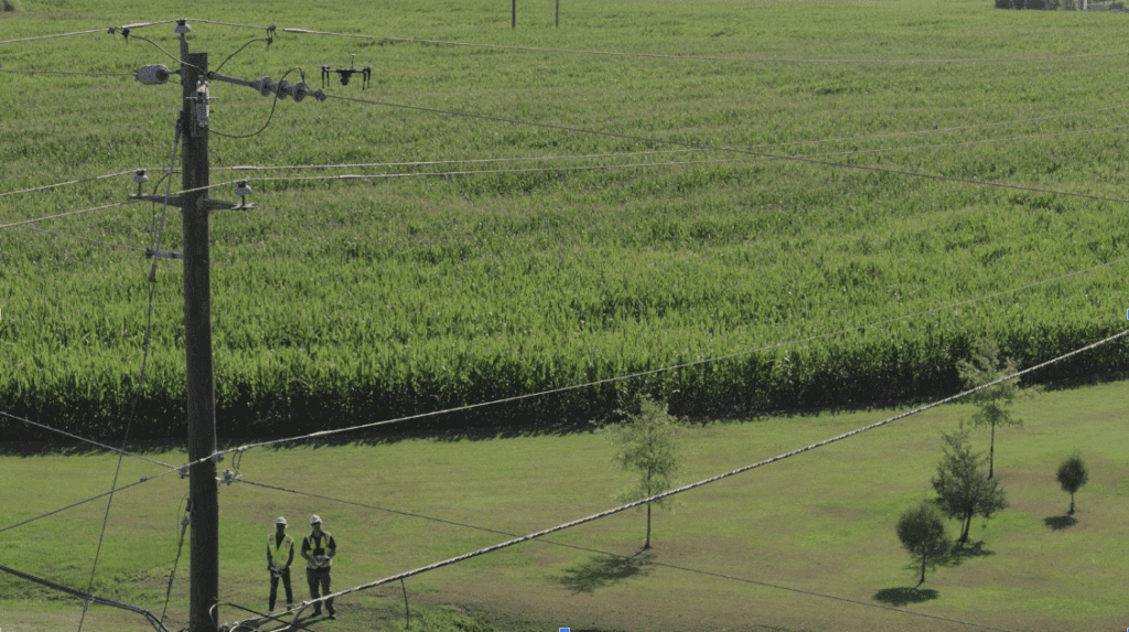
Comparatively, drone inspections are more accurate, faster, and safer. They yield imagery and thermal data that is higher in resolution, owing to the aircraft’s ability to fly in close proximity to the assets. Where deploying a bucket truck can take up to a couple of hours, deploying a drone takes just a few minutes. Best of all, there is almost no risk of personal injury or death to the operator, who gets to keep his or her boots on the ground.
The proof of these benefits is compelling. One major American utility recently used drones to identify 45% more areas of concern compared to traditional CVIs methods.
When Data Analysis Matters Most
It’s the data that matters most. And forward-thinking utilities are expanding their data analysis methods to benefit from emerging machine-learning technology.
Drones and other collection methods are used to capture thermal images of electrical equipment. Then, through the use of an analytics software program powered by artificial intelligence, utilities can automate anomaly reports and filter through the gathered thermal imagery to investigate items of concern on a pole—connection points, insulators, transformers, splices, and more.
Implementing this type of software saves utilities time and money, reducing the noise (i.e., other hot objects in the vicinity) while simultaneously narrowing in on hotspots to review. Instead of manually reviewing tens of thousands of thermal images to identify potential hotspots, a geospatial data platform can process the collected data quickly, accurately flagging images and then ranking them by severity.
This allows a thermographer to review the images containing the most pressing issues first—increasing response times in scheduling work orders for immediate repair of hotspots, asset infrastructure, and more routine maintenance.
At an average of five images per pole and 300 poles per feeder, this adds up to significant savings for utilities, as the rate for a thermographer can average $30 per hour.
Three Steps to Prevent Summer Overheating and Prepare for the Future
Beyond increased accuracy and safety, utilities are realizing cost savings by continuing to invest in emerging technology.
To do this, utilities are working to complete three steps to bolster against shifting summer demand, increasing extreme weather events, and heightened customer awareness and anxiety.
First, utilities are recognizing the benefits of adding drones to their data collection and analysis capacity. By training linemen and other field staff, utilities are improving their asset inspection techniques, end-to-end.
Second, utilities are preparing to analyze and process thermal data, including through the use of machine-learning software programs able to identify potential failure areas and areas of concern. Doing so allows utilities to address hot spots and other potential areas of concern immediately—before failure occurs.
Finally, utilities are reconceptualizing internal workflows and preparing their capital budgets in order to respond to the enhancements realized by modernizing and streamlining data collection through the investment in emerging AI-powered data analysis methods.
Whether inspection methods already include drone-based data collection or a company is seeking to add drones to its data collection toolkit, utilities are benefitting from expanding their data collection and analysis methodologies, ultimately resulting in increased safety, cost savings, and fewer outages for customers due to summer overheating.
—Robert Henley is Vice President of Energy Solutions at PrecisionHawk. He is a longtime expert in the utility industry, with more than 25 years’ experience in operations, engineering, and aviation. Prior to PrecisionHawk, he spent seven years at Pacific Gas & Electric, where he led the GIS program and later managed the UAS Drone Program. Henley holds a commercial drone license and an MBA.